


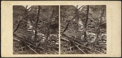
Nineteenth-century stereoscopic image of a Catskills creek after a flood. Image courtesy of Wikimedia Commons.
The wheels of government turn slowly. Months after flooding from Irene and Lee struck the Catskills, several much-needed regional projects to remap floodplains and remove debris from streams are finally underway.
Last week, the New York City Department of Environmental Protection announced that the agency is putting $7 million toward an effort to study flooding patterns and redraw flood maps in the city's West of Hudson watershed.
Communities need new floodplain maps because flooding is getting worse in the region, the DEP's press release states:
Updated floodplain maps provide an essential tool for communities working to identify key choke points and to focus funding on the best ways to mitigate future flood threats. This is especially important since flooding in the West of Hudson watershed due to Hurricane Irene and Tropical Storm Lee far surpassed the inundation levels and damages of past record floods.
The Federal Emergency Management Agency is conducting the flood studies with DEP funds, according to DEP spokesman Michael Saucier. Local communities should begin seeing results from the mapping studies in 2012 or 2013, Saucier wrote the Watershed Post in an email:
Under the current FEMA schedules, surveys will continue through this winter and be completed in May 2012. Hydrology and hydraulic studies will commence in 2012 and their completion will vary by watershed. The preliminary maps are scheduled to go to communities in Schoharie County by August 2012, with Greene, Ulster, Delaware and Sullivan receiving preliminary maps in February and March 2013. It typically takes about 12 to 18 months for communities to review and comment on the maps, correct any issues and for final community adoption.
In the same release, the DEP noted that the Catskill Watershed Corporation has approved the spending of $2.5 million on clearing debris from streams around the region.
The announcement of new funding for stream clearing is good news for anyone who lives near a stream in the Catskills. Months after the floods, local streams and creeks are still clogged with downed trees and man-made debris -- tens of thousands of massive objects that another flood could transform into floating battering rams.
Today's Daily Mail has a story about another debris-clearing initiative in Greene County, a Debris Removal Team (DRT) that is already getting to work clearing streams even though the funding for the project is still being sorted out. Reporter Michael Ryan writes that the DRT is coordinating with FEMA on individual stream-clearing projects, and locals hope the federal agency will pick up most of the tab.
Many of the worst spots, Ryan writes, are on private land, which is more difficult to access (and to find funding for) than public property:
Many local officials have pointed out that the clearing of debris often occurs seamlessly around publicly-owned infrastructure, such as bridges or road culverts, but stops short when public and private lands overlap, leaving the problem unfixed and worse off in some cases.
The question of who is steward of the streams has become a burning one, and long-standing policies are being seriously examined as residents demand protection from future flood events and government leaders search for the money to make it happen.
All agree that short-term mitigation efforts must be established while planning for long-term maintenance of the streams.


